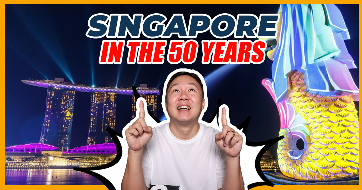
How is Singapore going to transform in the next 50 years? If you are unsure, let's take a fly past into the future to have a glimpse into where are the 7 key residential towns going to be and why you as a homeowner must be aware of this.
I am always very amazed at how Singapore is able to plan things ahead and ensure stability when it comes to property. The ingenuity and vision for the country are such a masterpiece.
Don’t you think?
With that being said, let me unbox for you The 7 Key Residential Locations that we'll soon see come to life.
4 New Nature Corridors
What happens when you involve biodiversity experts in mapping out the future of Singapore? The answer is: getting a careful insight of the island's ecosystem, which will be largely considered into the master plan.

Map courtesy of National Parks Board
First in line is the Khatib Nature Corridor. Springleaf and Miltonia close area will soon have more residential units. Of course, heritage sites will be kept safe, but newer developments will uplift the space in all aspects.
Lim Chu Kang Nature Corridor will soon be connected with the Tengah HDB estate from the Western Water Catchment area all the way to Lim Chu Kang.
Remember, the government always plans ahead for things and this is also the reason why we carefully study the masterplan to direct our property plans accordingly. And we are predicting there will be more changes in Tengah as well in future years.
Adding on is Kranji Nature Corridor. This corridor traces an unspoken connection to Bukit Panjang. We might witness a route appearing from Admiralty Park to Mandai Area.
Seletar Nature Corridor. Selatar Nature Corridor will be connecting Punggol HDB to Thomson Nature Park.
Potential Simpang Estate
This estate is found in Singapore’s Central Region. For the longest time, this 5.13 km2 of land is untouched until Punggol is virtually saturated. If you must know, it’s a swampy area that has been utilized by Singapore Armed Forces as training ground since 1996.
The plan to develop estates in the Simpang Estate has been floated since the 90s. However, as most plans are fated to, they were shelved. Here's hoping that this dream will materials this time to serve needs.
LTA is also crunching up plans to possibly create accessibility to Simpang Estate with public transportation.
Read on as we will uncover the other 5 zones that are crucial especially if you are staying in the Eastern side of Singapore or have intention to move there. This is very important to you.
Paya Lebar Air Base
This is perhaps the exciting part--the Paya Lebar Air Base. A relocation of PLAB in 2030 will give us more land of about 800 HA. That's five times the size of the Toa Payoh Estate!
According to PM Lee’s speech, here are some other exciting facts about the Paya Lebar Airbase
- Its runway is a dominant feature stretching 3.8 km from one end to another and it is specially aligned along the direction of prevailing winds to avoid crosswinds when aircraft take off and land.
- Future developments can also be oriented as such so residents can enjoy natural breeze and less air conditioning.
- The runway can be repurposed into the town’s central spine, and turn it into a green connector or community space extending from one end of town to another.
- On both sides of the spine, the government will build public and private housing which MND estimates can be around 150,000 new homes.
- Amenities and recreational areas will be close by, as well as commercial and industrial developments to bring jobs closer to homes.
- Once the airbase moves out, some building height restrictions around it will be lifted so towns can be redeveloped to include more amenities and maximize space there.

Photo Courtesy of URAS
Prepare for amazing designs as proposals are submitted to re-imagine it as a heritage site, therefore preserving its history. Ideas are pouring in as well to discourage car use in the vicinity and promote walking, biking, public transport, and kinder vehicles for the planet. We would love to see more car-lite spaces in Singapore.
Bayshore
We can't wait for the further developments in Bayshore when the Bedok South MRT lines to complete.
“Healthy living finds a home at the new Bayshore housing precinct near East Coast Park.” Says URAS. The space is connected to the rest of the country through the two new Thomson-East Coast Line stations. The Bayshore will be inviting people to walk and cycle as the primary means to move about. Can you just imagine how enjoyable a stroll around these parts can be? Lots of community spaces, facilities, and activities.

Photo Courtesy of URAS
These developments also assure citizens that other regions in Singapore will be decongested because businesses and will be encouraged to move to the Bayshore area.
As you know, Bayshore has been eyed to be the lifestyle hub as a waterfront estate. This is going to boost more properties ranging from HDBs and condos there. If you do a drive past there, you will already witness huge plots of area been cleared out and roads path to a new township.
Simei
Simei will no longer just be the "Upper Changi MRT area." It will soon blossom with public and private housing. Look out for this development, as many would probably keep their eyes on it, especially with the connection it offers, given its proximity to the station.

MRT Map photo from https://www.lta.gov.sg/
Housing in these parts is also expected to suit our different needs better, from addressing space constraints to accommodating work and lifestyle.
East Coast
URAS is looking at developing coastal protection since we'll be experiencing rising tides globally. Therefore, experts are taking on a project to plan the coastal areas, Marina East to Changi (also known as "Long Island" to repurpose them into housing areas with coastal parks for water-related recreation.
Marina South
In case you missed it, URAS increased private residential supply (under Government Land Sales) to 3,505 units. Marina Gardens Lane is intended to connect with Marina South MRT station seamlessly.
Marina South is set to have five residential and commercial sites that boast scenic views and yield 795 units and up to 750 square meters of commercial space.
In my previous blogs and videos, I have shared with you the recurring thoughts of land supply not meeting the demands of this current generation and the next. But it appeases me that Singapore has capable leaders and exudes resiliency at its core. Aren't you glad we have resourceful agencies that are well aware of our concerns, constraints, future risks, and inevitable problems yet design inventive master plans to address each of these concerns for our quality of life?
But as the plans are laid out, let's remember that it may not materialize as expected because these can change to accommodate better solutions.
Let's keep an eye out for these developments! In the meantime, let me know if you need assistance in digging deeper about this information and how it can affect your property plans in the future.
Click here to book a complimentary 20-min consult with me so we can discuss personally.